
reworked for GTR2 by BenMK1
PHILROB (IOM GTL v2) and MotorFX (IOM GTR2) gave me permission to make the best with here versions.
Credits and thanks to:
Original Track created by Jim Pearson for GPL
First Conversion from GPL / GTR to GTR2 by Superkolos
parts of frank.55 works for GTR included (aiw-file)
rFactor Conversion by by LifeRS and reworked by Bud Lucas
GTR2 Credits :
PHILROB for Version 2.0 of this track and allowing me to rework it
MotorFX for all the material from his GTR2 version and for permission
LOD and Thmb grafic by MotorFX
Sky textur by DMZ
Red Helicopter from Korea Track by macci dESIGN
Blue Heli and 3 Motorbikes by Franky
please see included ReadMe Isle of Man Authors.txt for more detailed infos.
Track Infos from Wiki :
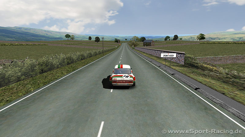
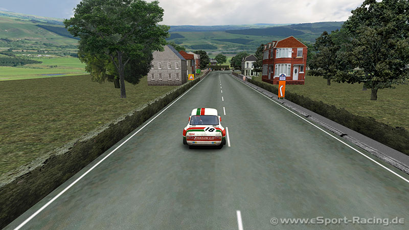
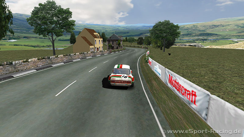
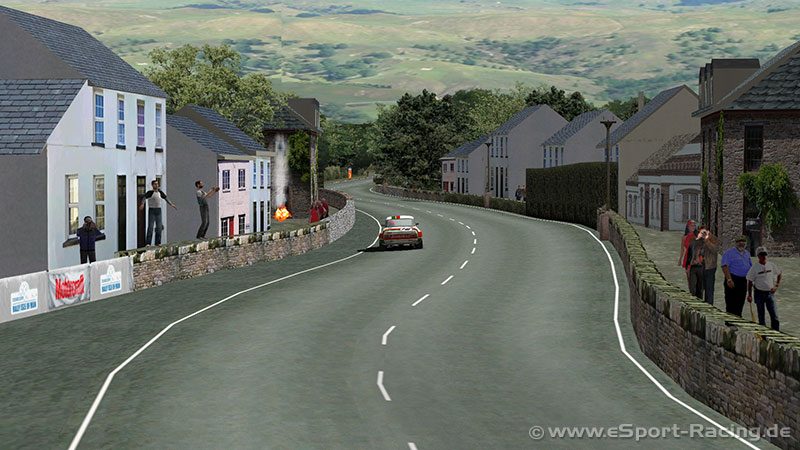
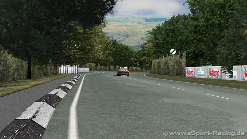
The Isle of Man TT Mountain Course or TT Course is a motor-cycle road- racing circuit located in the Isle of Man. The motor-cycle TT Course is used principally for the Isle of Man TT Races and also the separate event of the Isle of Man Festival of Motorcycling for the Manx Grand Prix and Classic TT Races held in September of each year. The start-line for the Isle of Man TT Mountain Course is located on Glencrutchery Road in the town of Douglas, Isle of Man.
The clockwise course has a lap of 37.73 miles (60.72 km), from the startline at the TT Grandstand on Glencrutchery Road (A2 Ramsey to Douglas) in the island’s main town of Douglas. After negotiating urban streets, the racing circuit turns right to leave Douglas at Quarter Bridge, then proceeds along the A1 Douglas to Peel road through the villages of Braddan, Union Mills, Glen Vine, Crosby, and Greeba. The course then turns right at Ballacraine on to the A3 Castletown to Ramsey road, firstly through countryside glens followed by agricultural land interspersed by the villages of Kirk Michael, Ballaugh and Sulby, finally intersecting with the A18 Snaefell mountain road after negotiating urban streets in the town of Ramsey. The A18 then takes the course back to Douglas through the highest point, situated after the Bungalow at Hailwood’s Height near the 31st Milestone and the UK Ordnance Survey spot height of 422 metres (1,385 ft) above sea level. The descent starts through countryside before entering the residential outskirts of Douglas back to the finish line.
Version 2.1 – updates by BenMK1 :
• GMT: Track, Gravel, Curb, Green reworked and set better LodOut values. So you see no longer the complete track in the air.
• Skyboxi and texture
• AIW: wp_path and groove overworked, new Teleport, working Timetrial
• Integrated Animation (2 Hellicopter, Tram, Airplane, Fire, Flag)
• Full mirror details
• Rain Reflections
• Not visible Underground Material
• and many many other things…
Known Issues :
Airplane and Cemtrail is not optimal. If someone know how to make it better, please do so and share it with the community (CHEMTRAIL_01.GMT). The max of working pics is 79 (3dSimEd v3, v2 only 62). The material can be saved as .gmt file or with the skyboxi. Both is working, only other position in game.
Have Fun
BenMK1
Longtime I am thinking about to suggest for trackbuilders to pls build the full length course of IOM. I think it would be so much more fun and also to recreate the enormous challenge it is – even though we have four wheels. Thx! 🙂